The far Southeastern portion of the state of Tennessee near the Southern end of the Appalachian mountains, became one of the most significant areas in the United States during the 18th and 19th century as it was a main Cherokee settlement and the last Capital of their Nation at Red Clay which sits on the Tennessee-Georgia boundary and their last chief John Ross lived in what is now Chattanooga Tennessee. Also, Sequoyah was born a short distance north in what is now Vonroe County Tennessee. The Tennessee River landing at Chattanooga which still belonged to the Cherokee was their deportation point in 1838. It is here where more than 14,000 of were rounded up and taken by boat and or on foot from their remaining homelands on the tragic the Trail of Tears. Chief John Ross and his family were among those who were removed.
In the 1700s the area was home to the Overhill Cherokee whose towns and villages were located west of the Appalachian Mountains. At that time the area had many significant Cherokee towns and settlements until the American Revolution changed everything for them and really all Native Tribes west of the mountains most of the tribes were killed or starved to the point of extinction. The Cherokee British alliance during the War of 1776 led to conflict with frontier. Colonial militias including the Rutherford Light Horse Expedition of 1776 and similar militia attacks devastated many Cherokee towns in the region, leading to widespread abandonment. At that point many fled to the surrounding mountains. The Cherokee allegiance to the British was based on the English proclamation of 1763 banning any white settlements west of the mountains. The British also wanted a more ordered process of any settlements on the western side. Once the war ended with the defeat of the British the new American government quickly allowed an influx of white settlers into the Overhill Cherokee homelands.
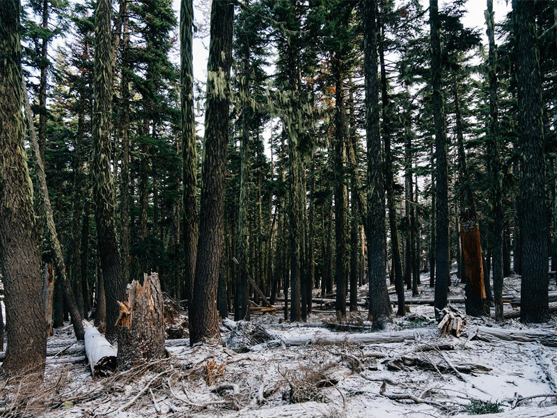
Many of the Tennessee valley towns were founded or resettled during the late 1700s, especially by followers of Dragging Canoe, a war chief who resisted European American encroachment by leading a faction called the Chickamauga, which settled towns in this mountainous frontier region. The known Cherokee settlements on the western side of the Appalachian Mountains were called the Overhill Towns. These towns were along rivers such as the Little Tennessee, Tellico, and Hiwassee, all flowing through mountainous terrain. The known Cherokee settlements in Southeastern Tennessee were Chickamauga Town (Tsikamagi) situated along Chickamauga Creek near the Tennessee–Georgia border. Chatanugi (Tsatanugi) located along Chattanooga Creek in the St. Elmo neighborhood of Chattanooga, Citico also within the city of Chattanooga, Cayuga Town located on Hiwassee Island in Hamilton County. other linked Overhill Towns: Chilhowee, Chota, Toqua, among others.
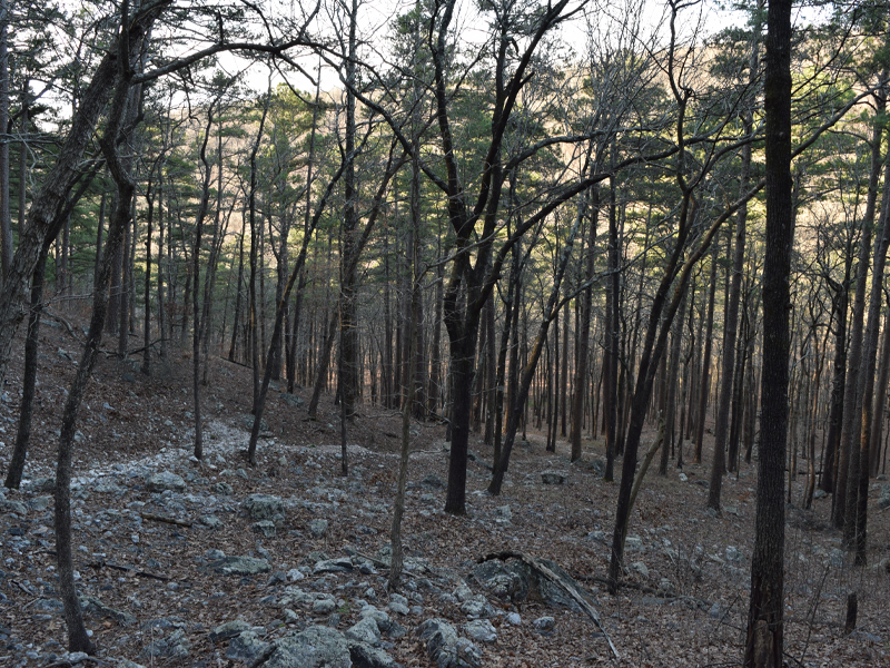
Most of the settlements were identified between the 1940s-1960s were part of the Tennessee Valley Authority’s mandate to bring flood Control and economic stability to the area during the Great Depression was a federal program established by the Roosevelt administration. By federal law, they had to preserve archaeological records of the areas that were identified for possible flooding during the building of the dams which now are found throughout the area. Many original Cherokee town sites were subsequently flooded or submerged including Chota, Citico, and Chilhowee or lost to urban development. Some sites have been preserved or are commemorated, like the Hiwassee River Heritage Center in Charleston Tennessee and Red Clay State Historic Park, the last seat of the Cherokee government before their removal. While Cherokee settlements in the valleys were at least recorded and identified. The surrounding mountains have few archaeological projects carried out as far as I can find. From the data I have been able to research the majority of the Cherokee mountain settlements were possibly resettlements of old Native American settlements. However, without the proof of archaeological records we can’t know for sure. There is an archaeological study done by Jan Simek, Alan Cressler, Nicholas Herrmann and Sarah Sherwood from the Department of Anthropology at the University of Tennessee and Mississippi State University, discovered America’s oldest cave and rock art that had remained hidden for more than 6,000 years. The faded images were found on the Cumberland Plateau and are believed part of the most widespread collection of such art ever found in the U.S. This area is on the western edge of the Cumberland mountains while the Southeastern Tennessee area is on the Eastern side.
Following continued encroachment and conflict, the Cherokee Removal (1838 Trail of Tears) forcibly displaced Cherokees from their ancestral lands in southeastern Tennessee also in North Georgia and Northwestern Alabama. All three areas were located at the very end of the Appalachian mountains and in all three areas the Cherokee and other tribes like the Creek were forcibly removed and sent to Oklahoma on the Trail of Tears.